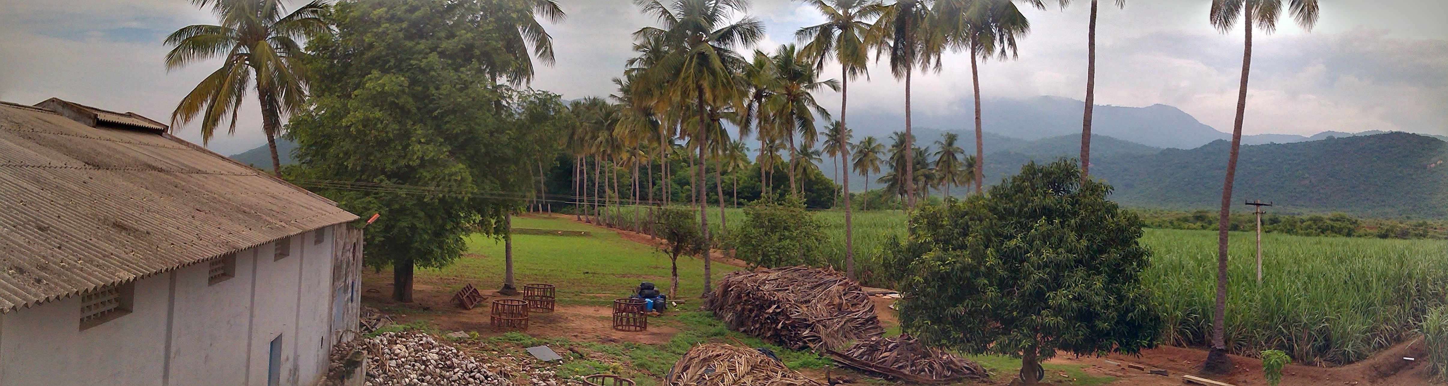
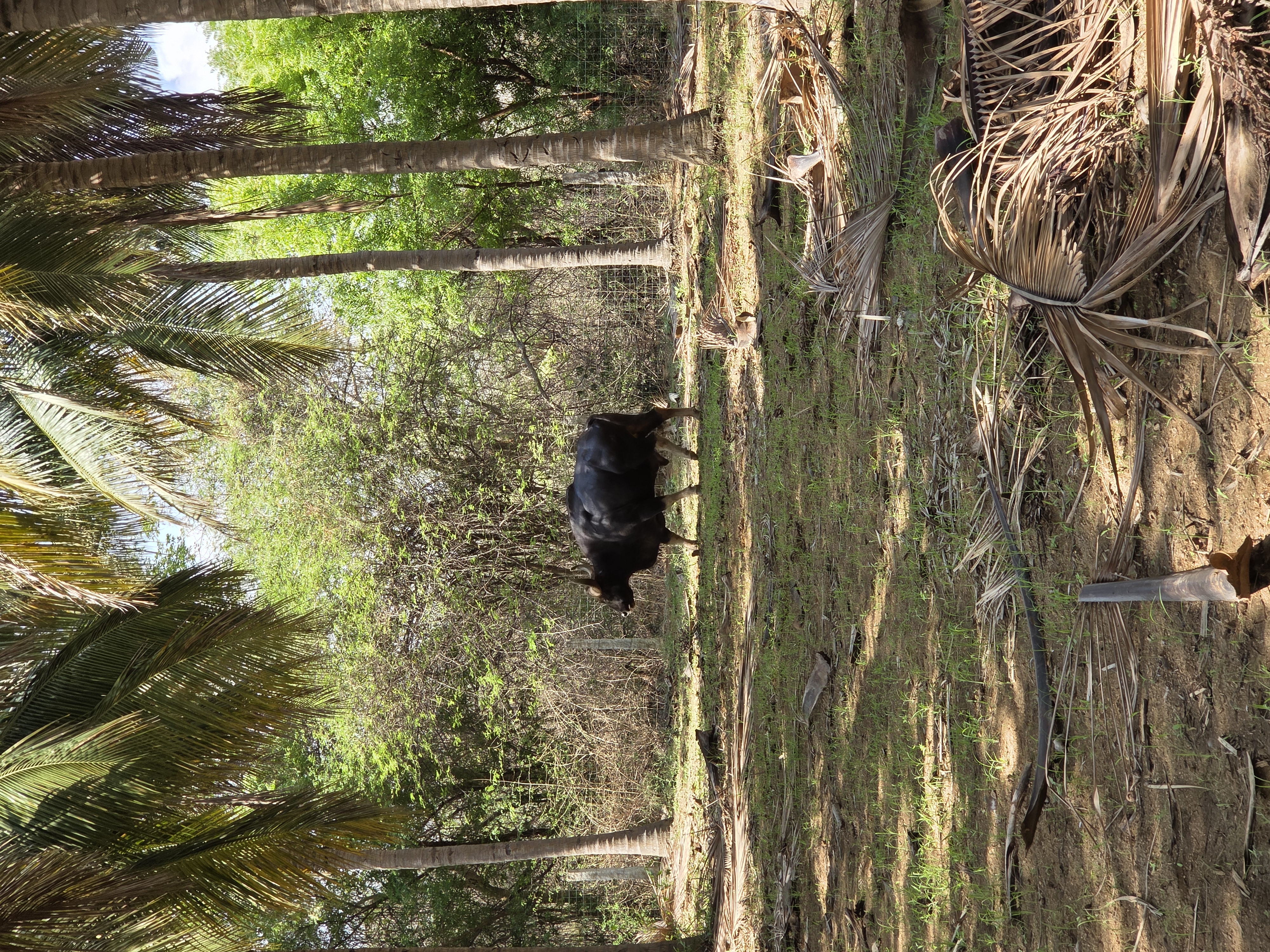
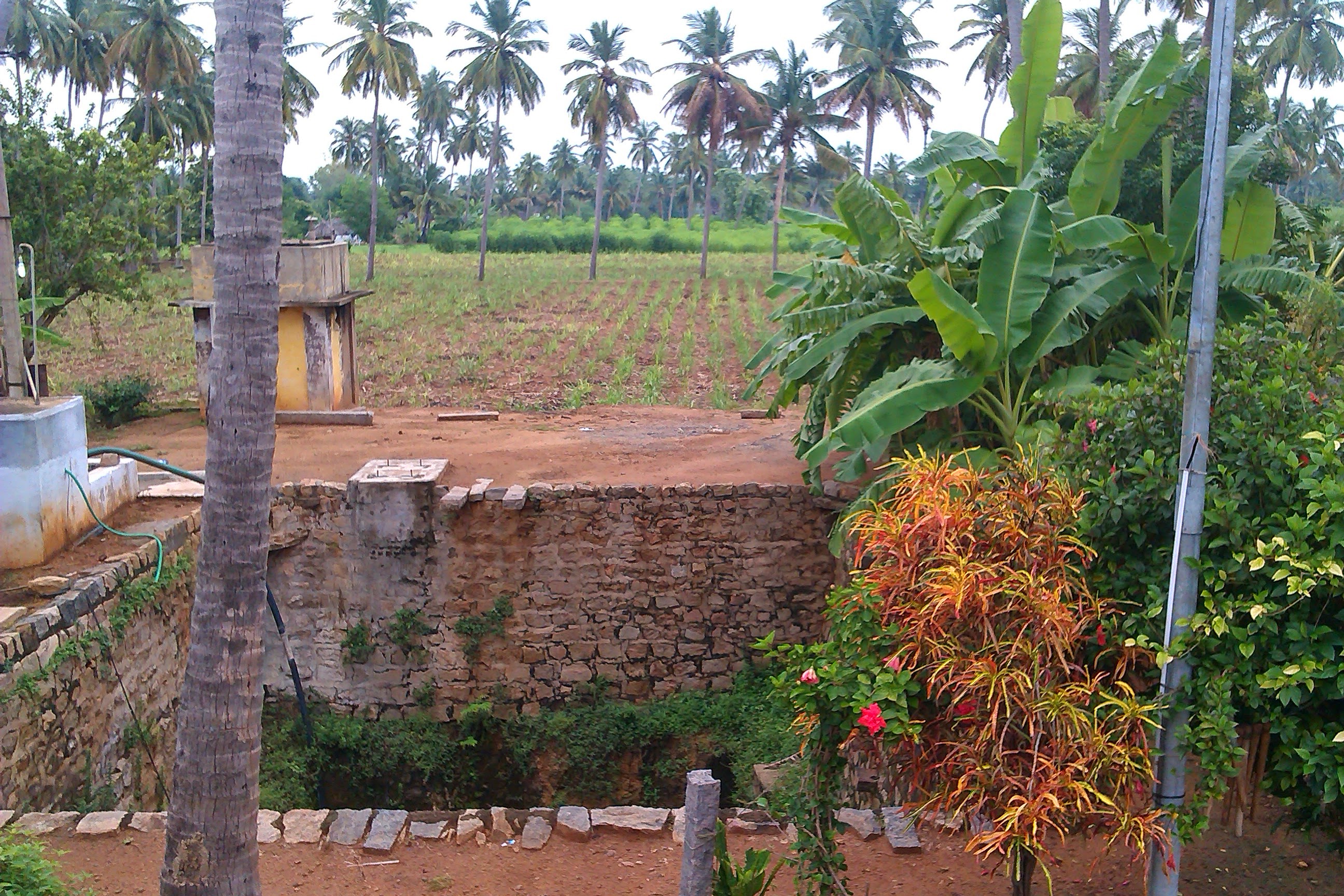
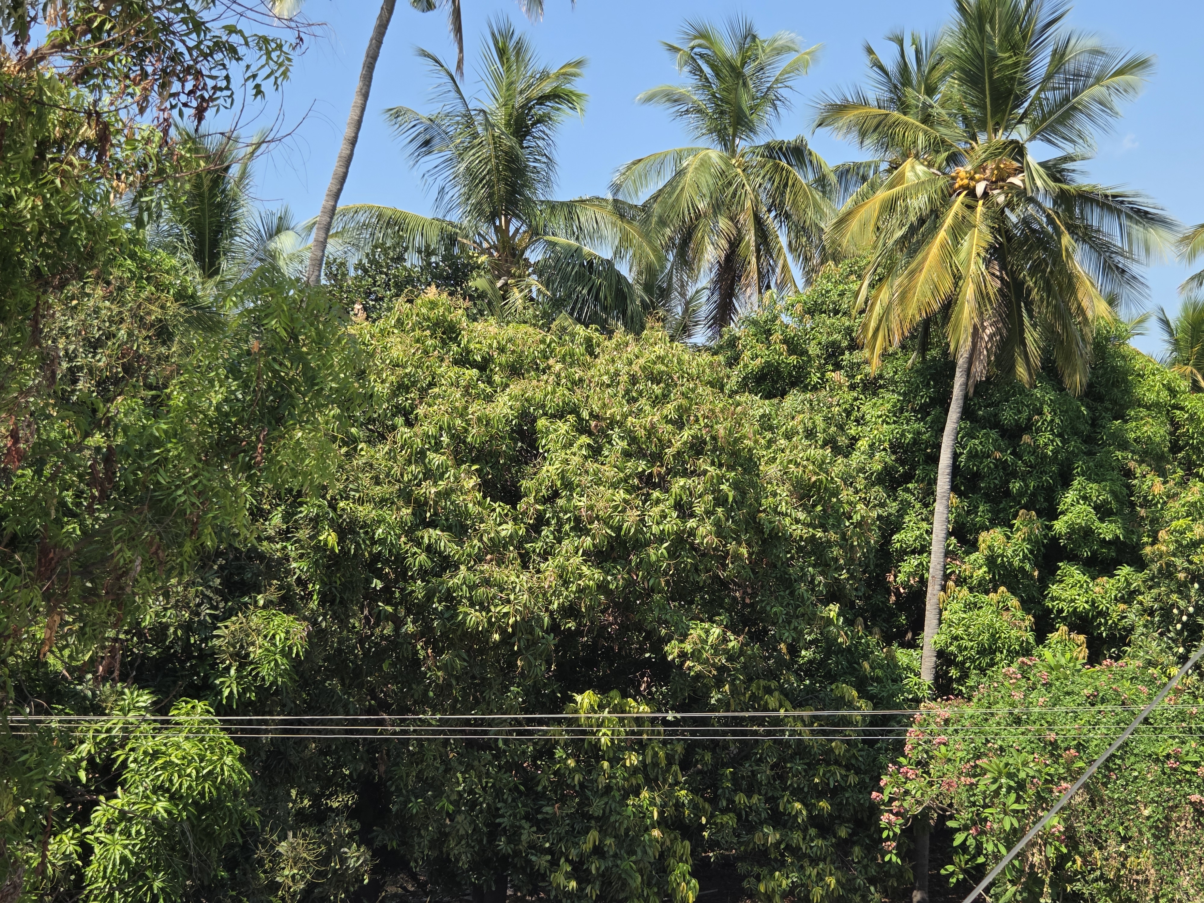
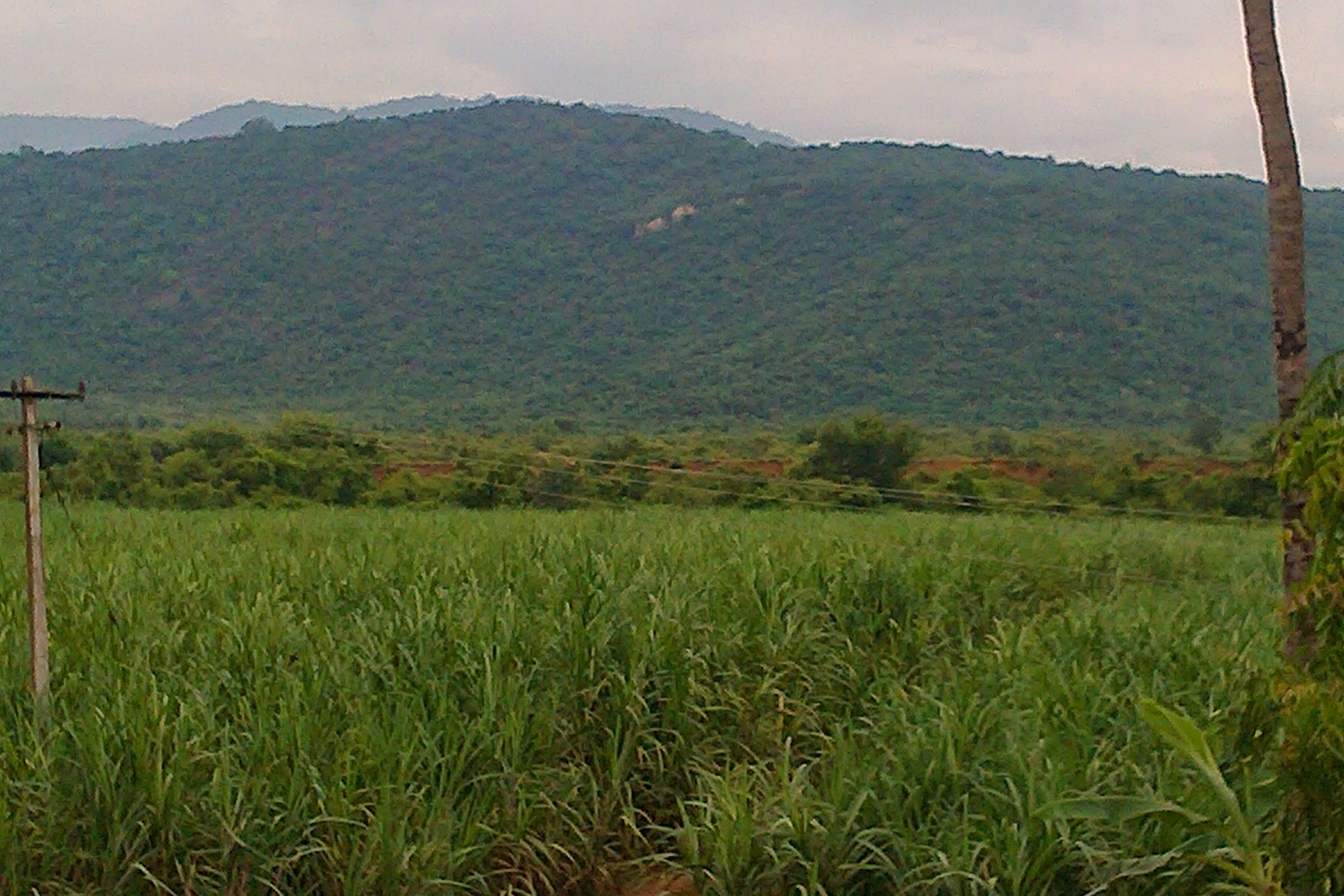
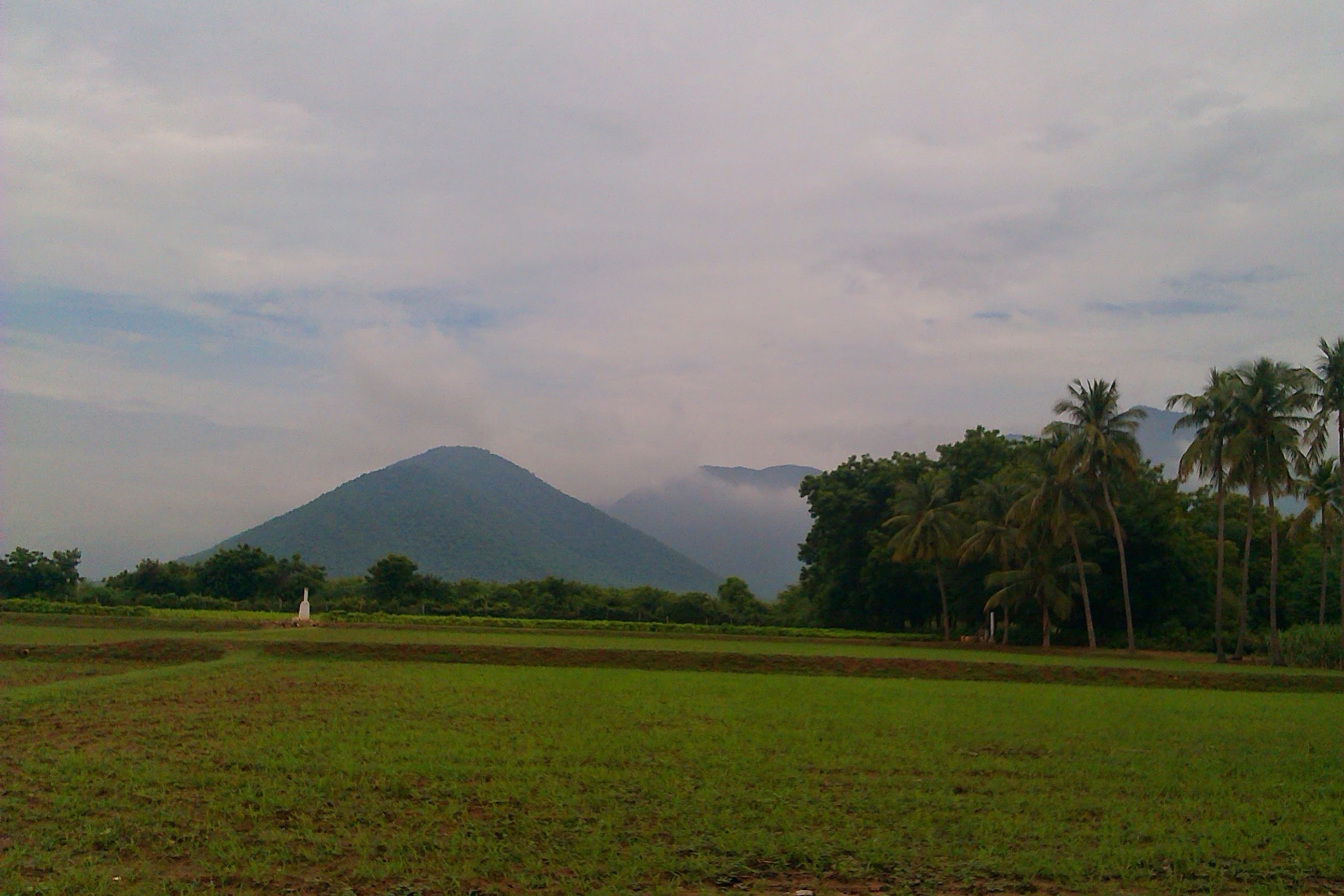
Coconut groves
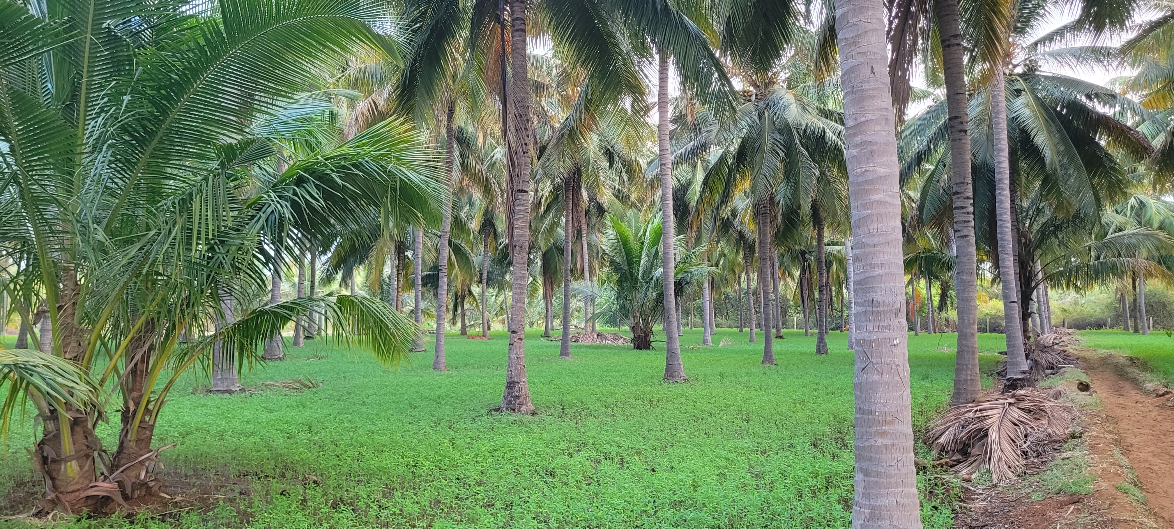
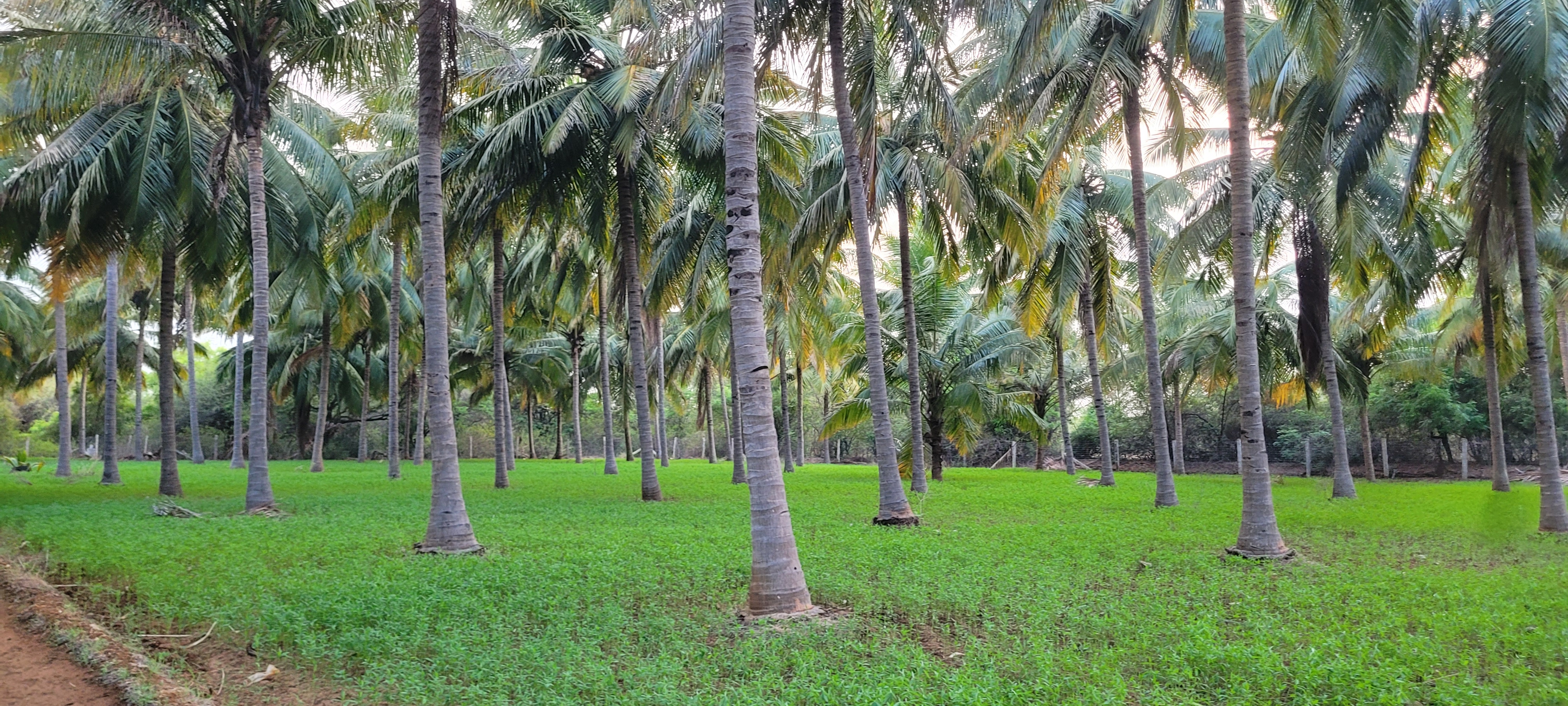
A stable agricultural base that may later support carefully planned complementary crops:
Future planning · not yet implemented
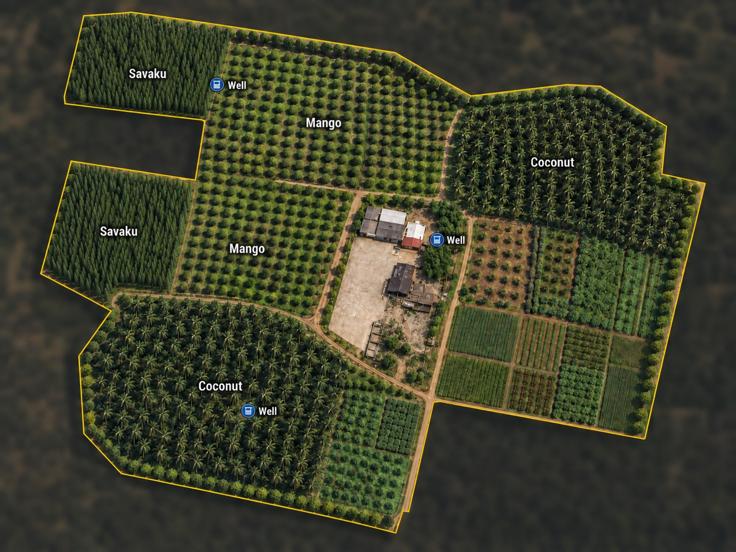
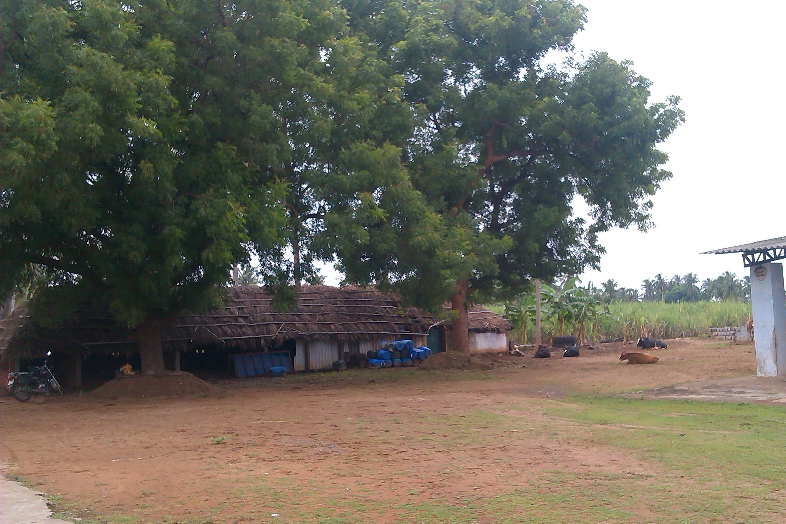
The House of Sengottaian sits on a large, connected agricultural property in Thagarai. For practical planning we treat it as a 25-acre estate.
The land has roughly 9.4 metres of elevation variation from its lower to higher areas. Lower sections may support future water retention; higher areas suit infrastructure that needs stronger drainage.
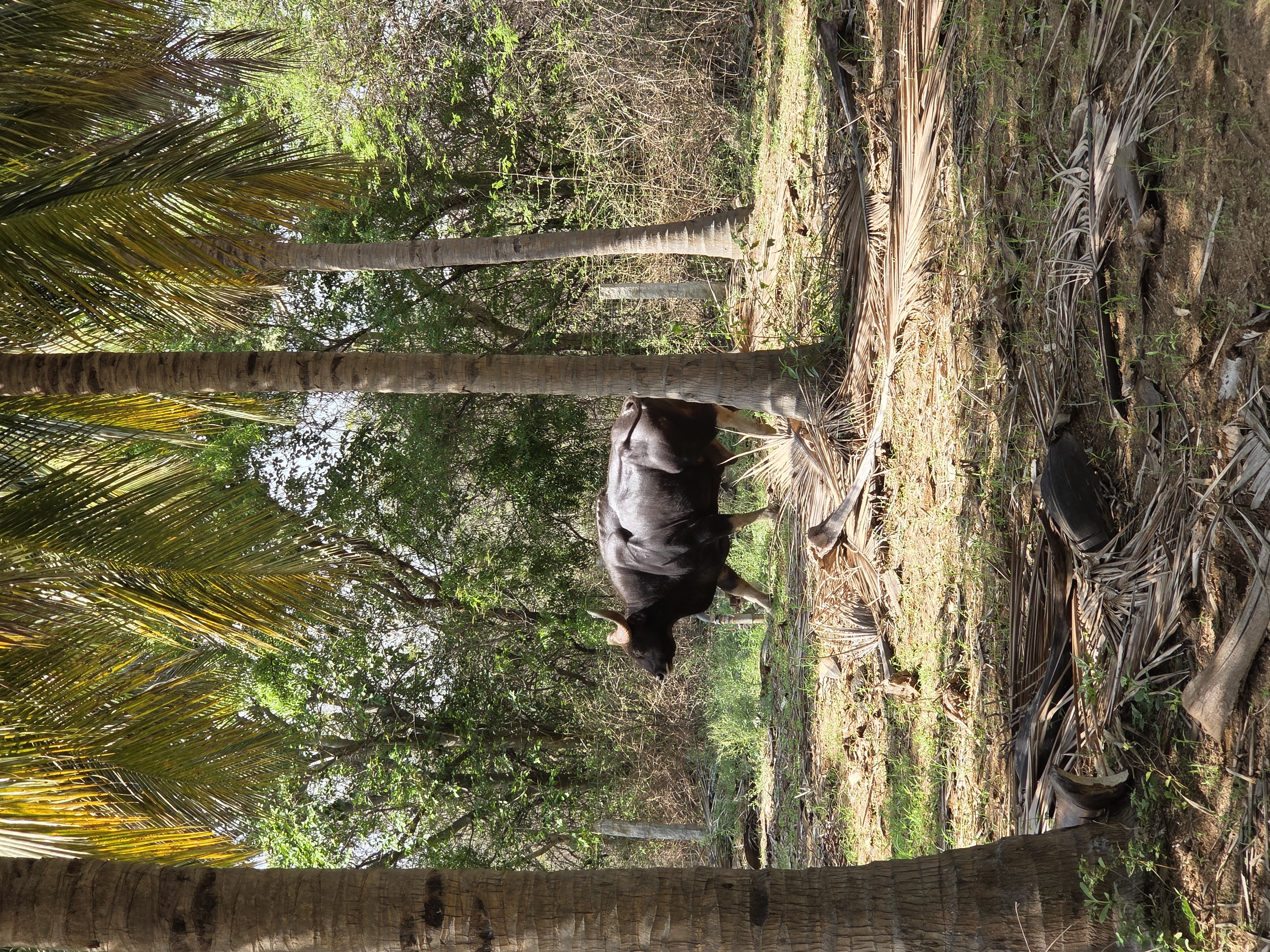
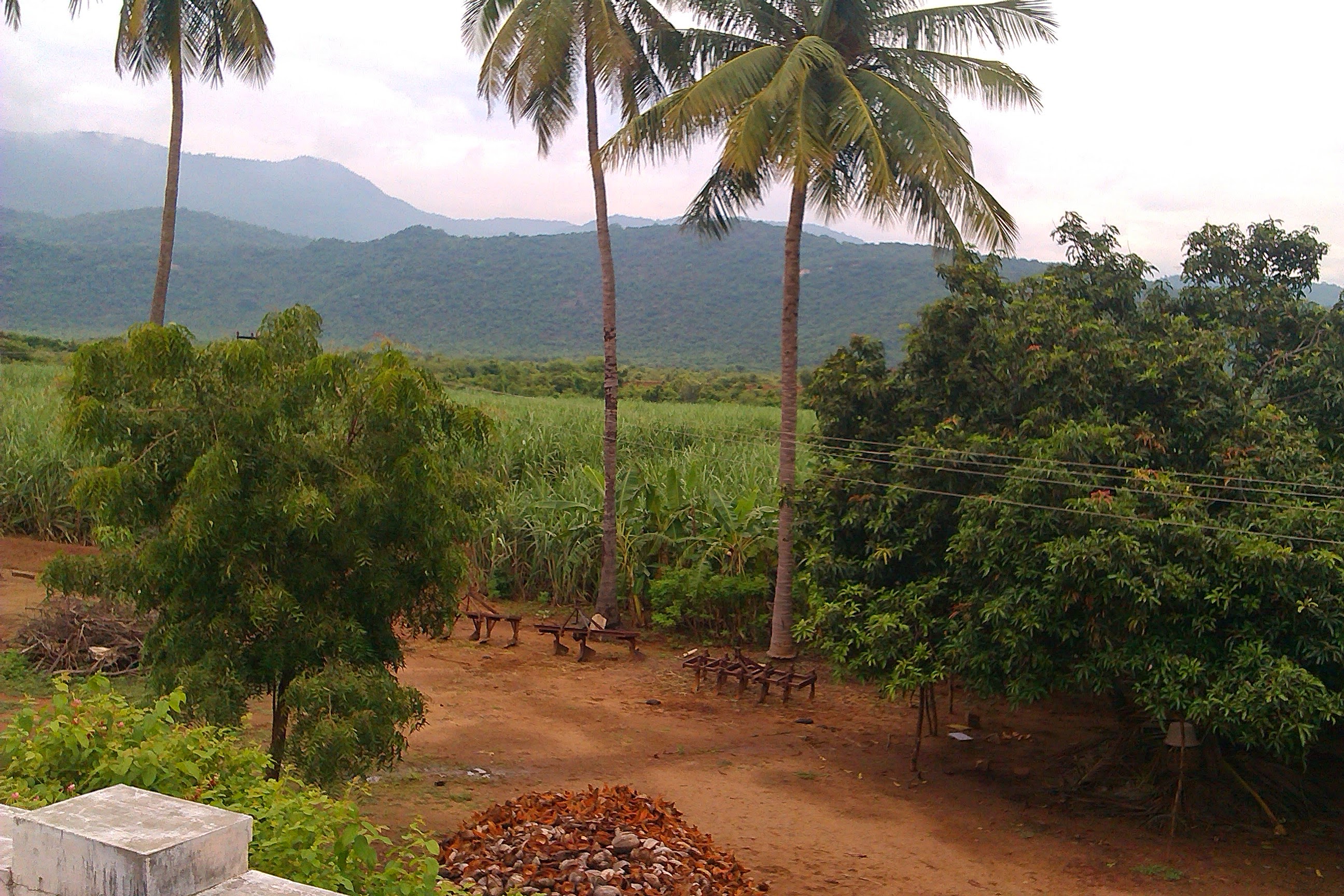
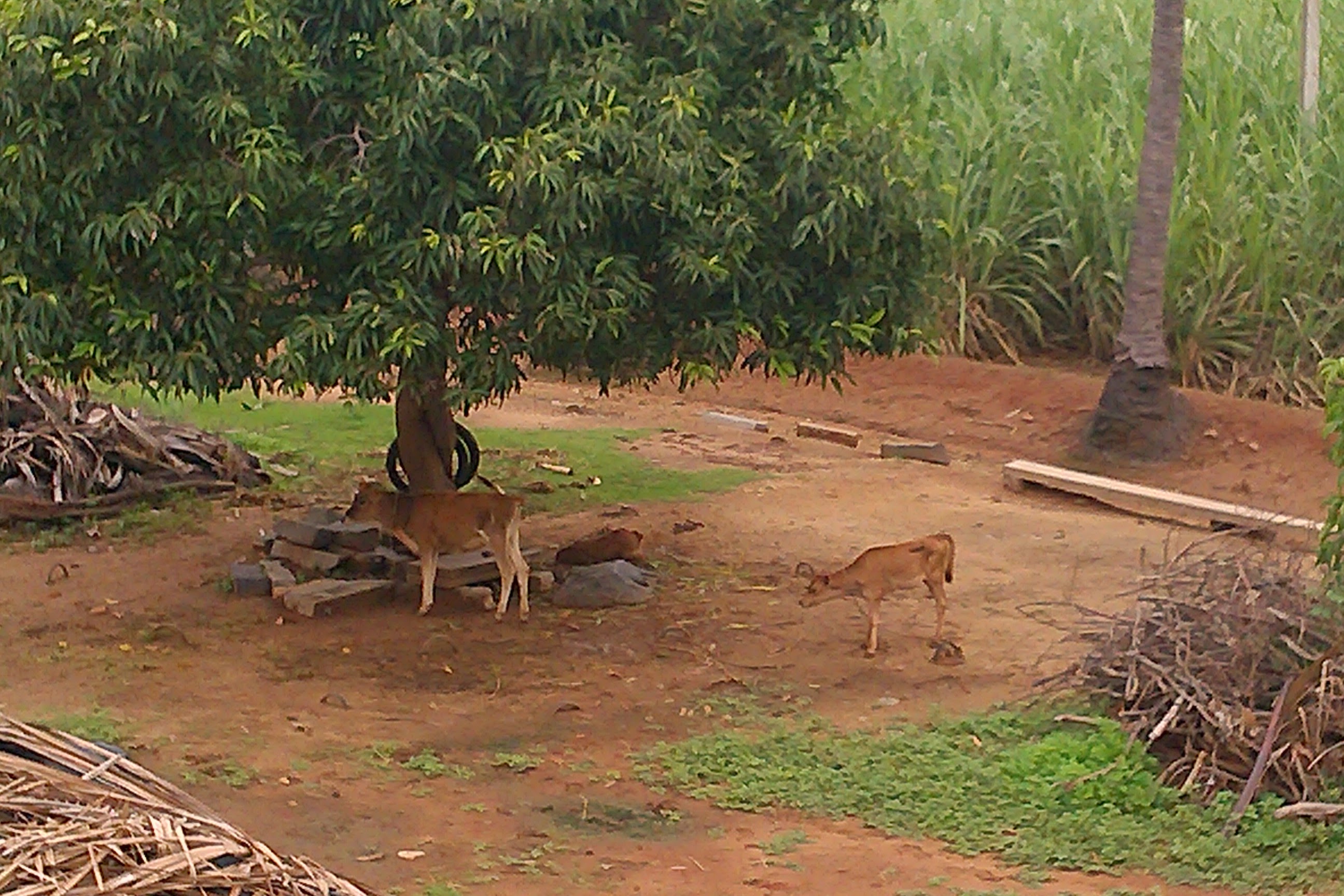
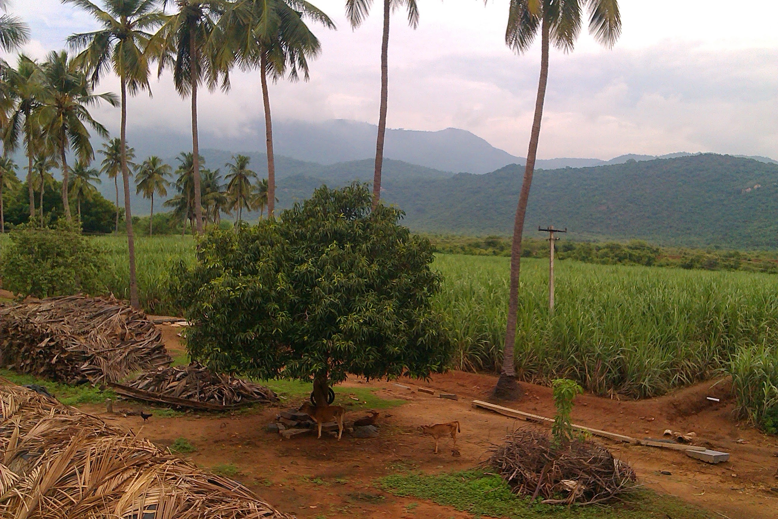
Reserved forest wraps roughly 60% of our boundary, so the estate stays green and genuinely wild. On a quiet morning the land is shared with more than a few neighbours:
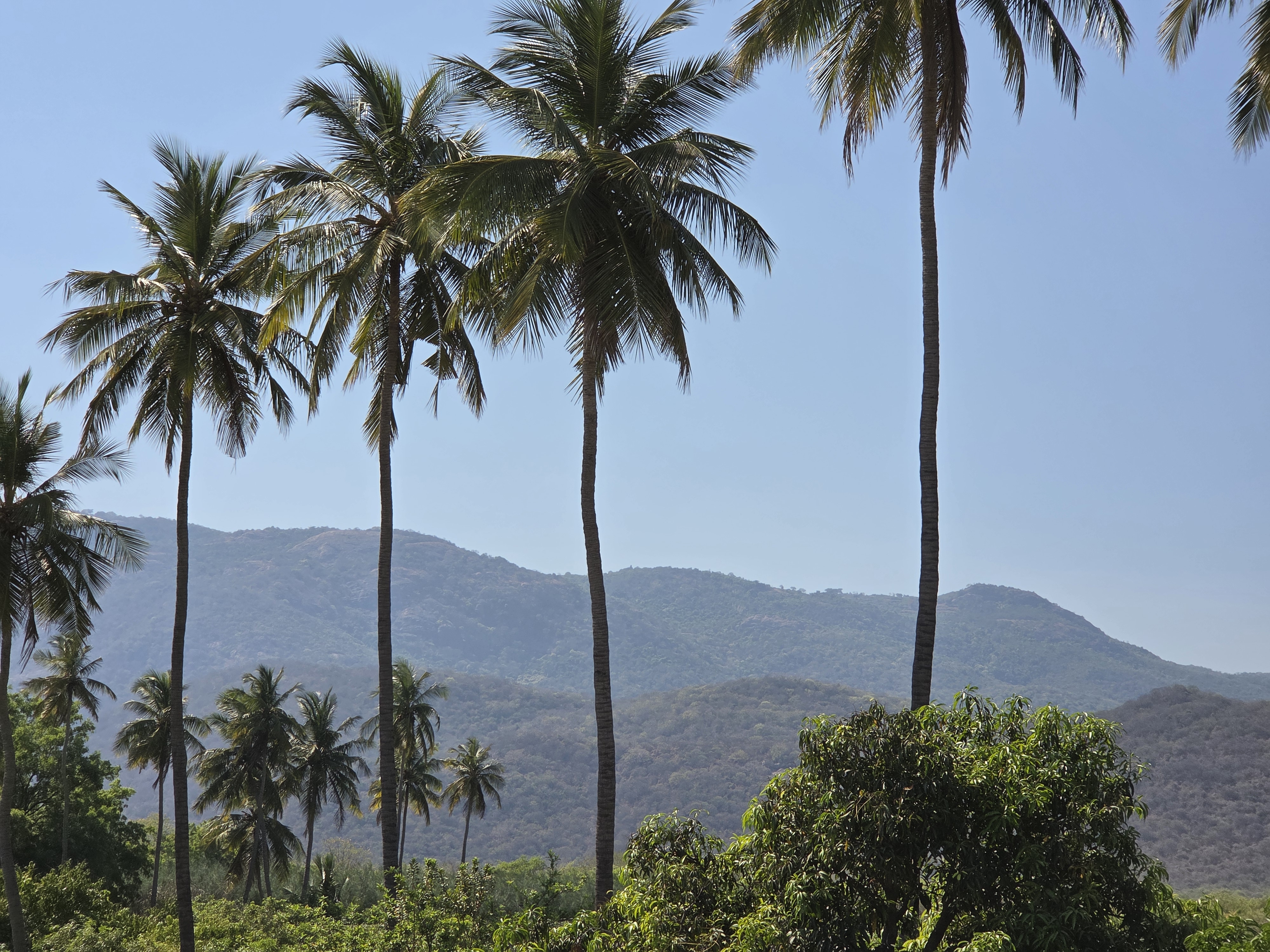
Coconut plantation
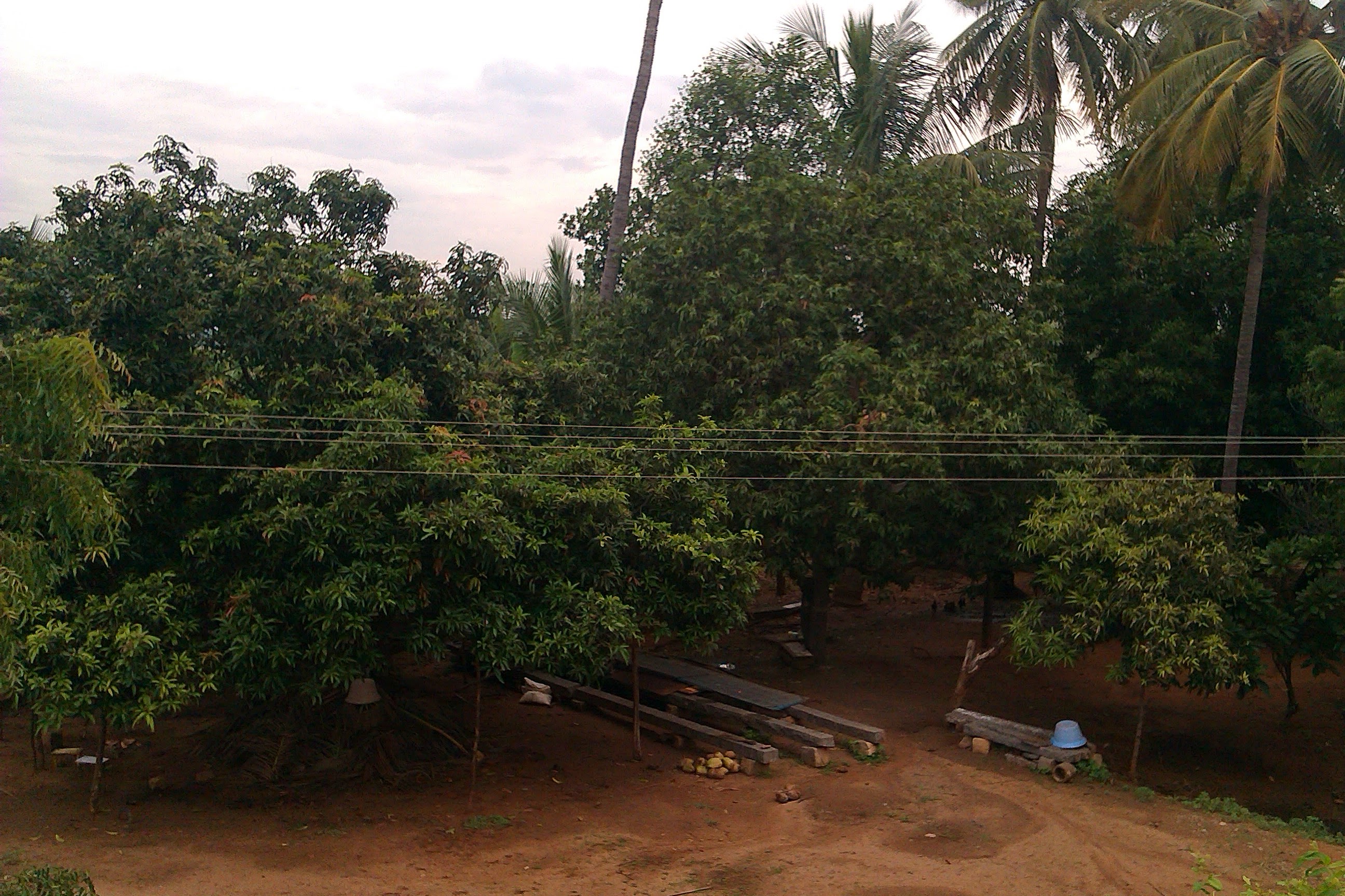
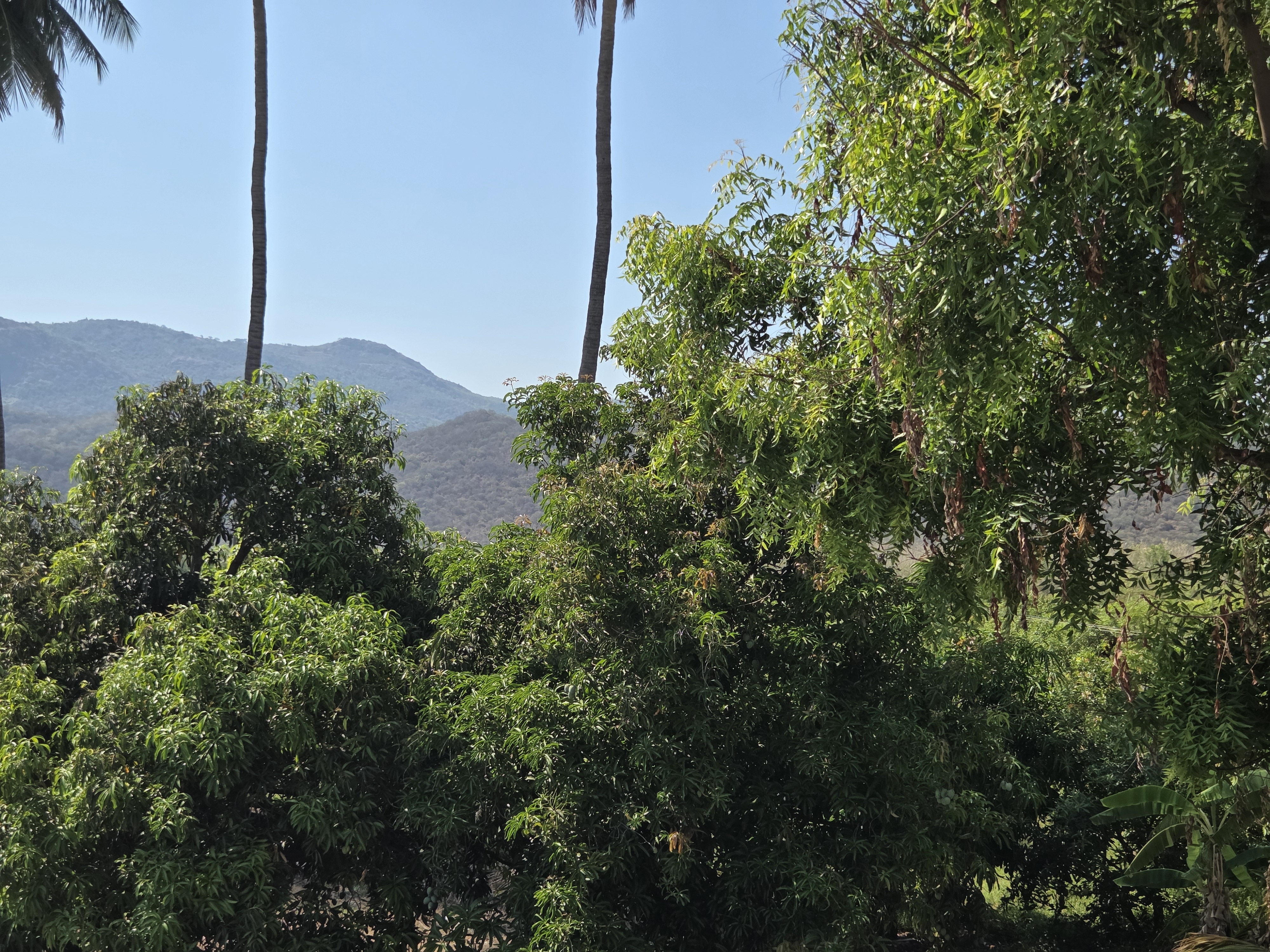
11 ACRESMango plantation
7 ACRESSavuku / timber cultivation
4 ACRESCement drying yard
≈1 ACREWells
3Godowns (storage)
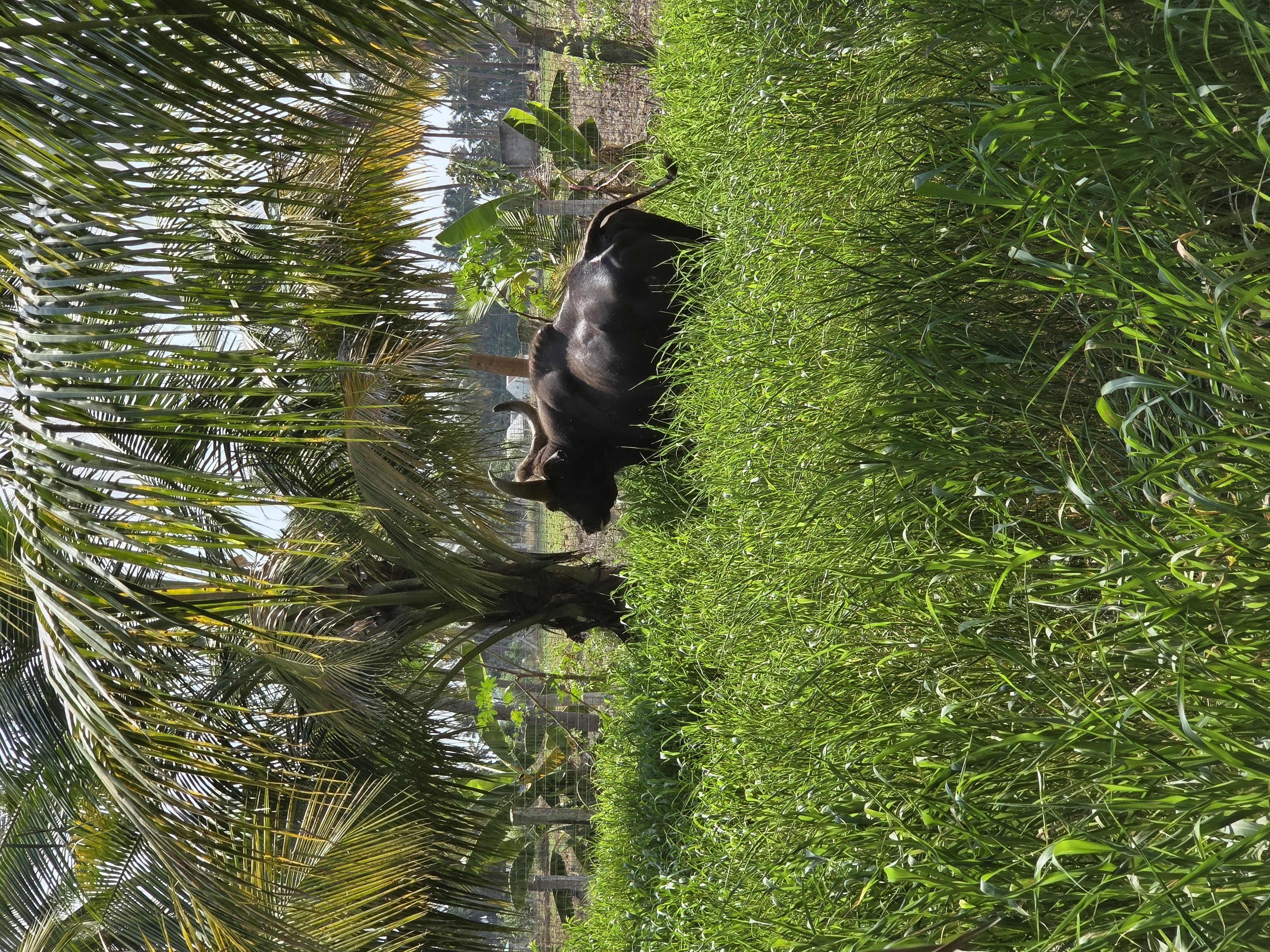
2Cow shed
15 COW CAPACITYFish ponds
2Residential house, roads & open areas
INCLUDEDThe two principal coconut blocks together cover approximately 9.15 acres based on map polygon measurements. Some portions are rented or currently underutilised.
We want timber to remain a carefully managed reserve — not something cut only under financial pressure. It is part of the farm's long-term asset strategy.
Future capital
Boundary protection
Wind reduction
Privacy & shade
Land-value gain
Lump-sum income
The cement drying yard of roughly one acre is already used by nearby farmers and provides existing income. Two godowns — one open and rain-protected, one enclosed — round out the working infrastructure.
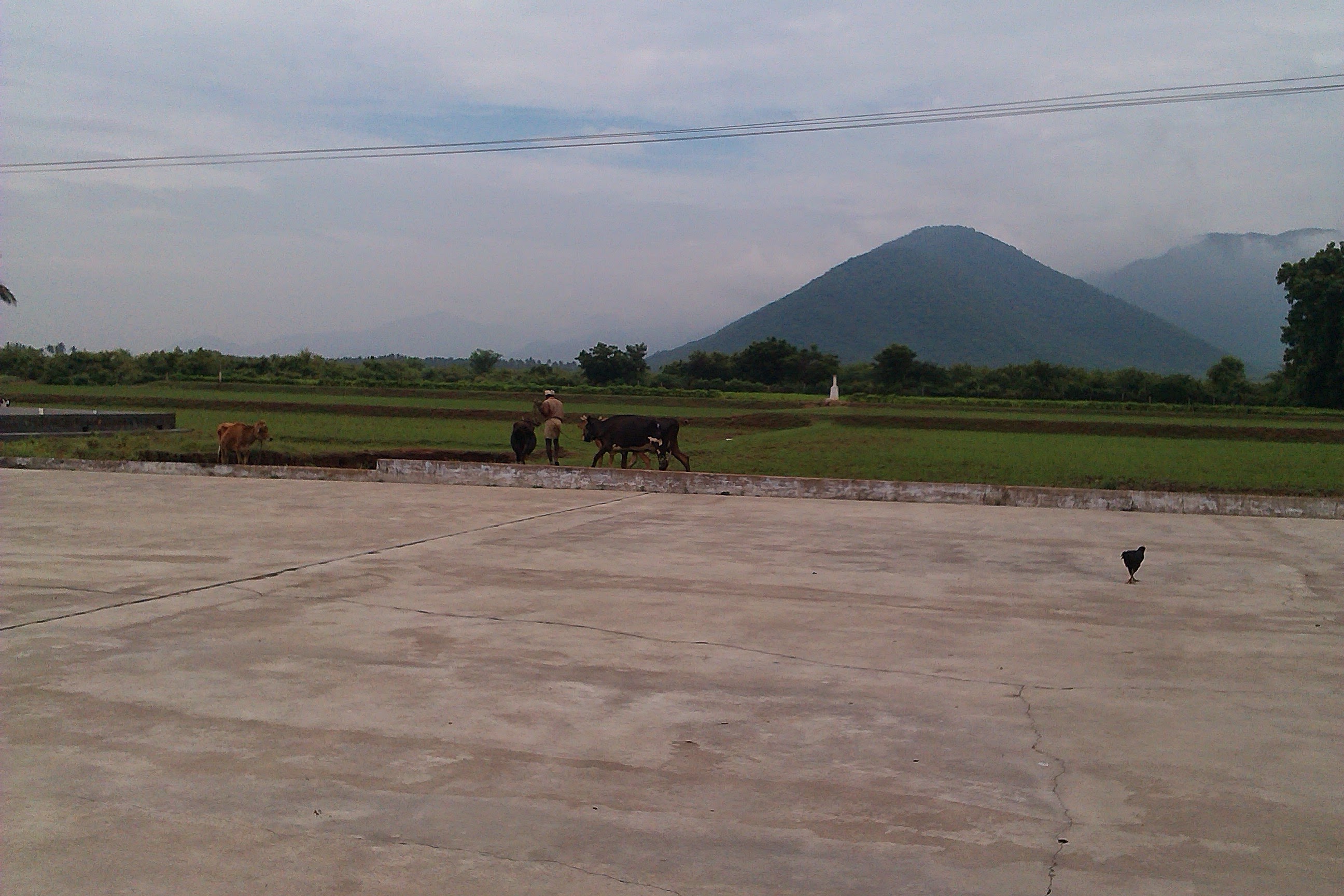
We sit in Thagarai, near Chinnasalem, where the plains meet the Kalrayan Hills. These hills are part of the Eastern Ghats — often assumed to be the Western Ghats, but the Kalrayan range is firmly Eastern Ghats. Together with the Javadi, Shevaroy and Pachaimalai hills, they separate the Cauvery river basin from the Palar.
Geography verified · Kallakurichi district administration & Tamil Nadu Tourism
Farm marker is approximate — use “Open exact pin” on the map for the precise location.
The range rising to our west — shola forest, waterfalls and tribal villages, roughly 2,000–4,000 ft across ~1,095 km².
Our closest town and railway station — and one of the main gateways up into the Kalrayan Hills.
A tranquil reservoir at the foothills of the Kalrayan Hills, a popular stop for families and nature lovers.
An irrigation dam on the Manimuktha river (built 1970), ringed by hills and farmland.
Our district headquarters, on the Chennai–Salem route by both road and rail.
Coffee-country hill station deeper in the Ghats, roughly 100 km on for a longer trip.
We welcome people who want to try something new — get their hands in the soil, learn how the farm works, and stay with us on the land for a few quiet days.
A working family farm, not a resort — expect real farm life.
Enquire about a stayThagarai · straight from the family, unstaged